Professional Surveying & Geomatics Expertise
With over 26 years of surveying experience on Southern Vancouver Island, Level Geomatics delivers precise, reliable, and efficient survey services tailored to your project’s needs.
With over 26 years of surveying experience on Southern Vancouver Island, Level Geomatics delivers precise, reliable, and efficient survey services tailored to your project’s needs.
Comprehensive geomatics services tailored to your project requirements.
End-to-end planning and coordination to ensure accuracy, efficiency, and timely delivery.
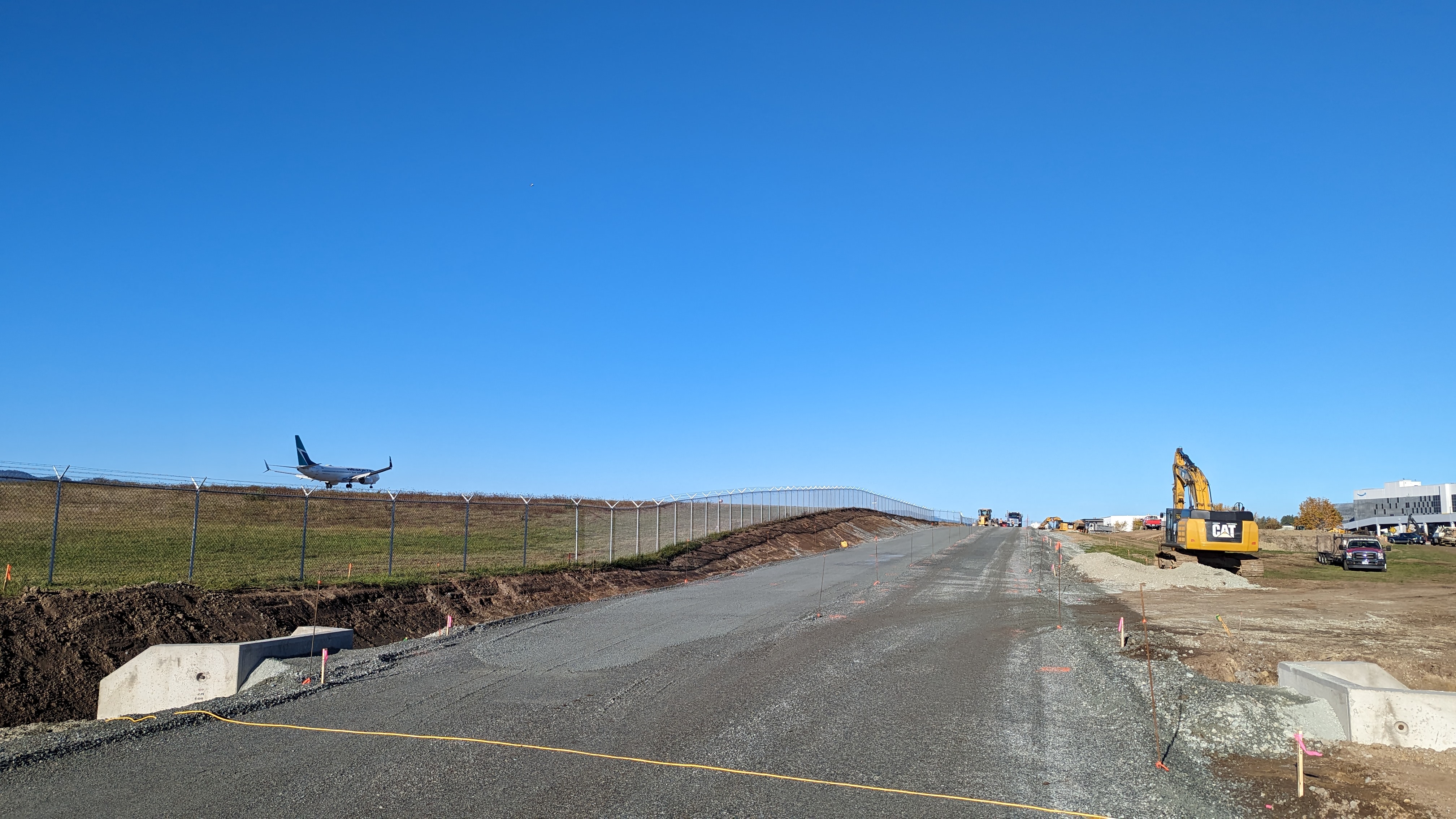
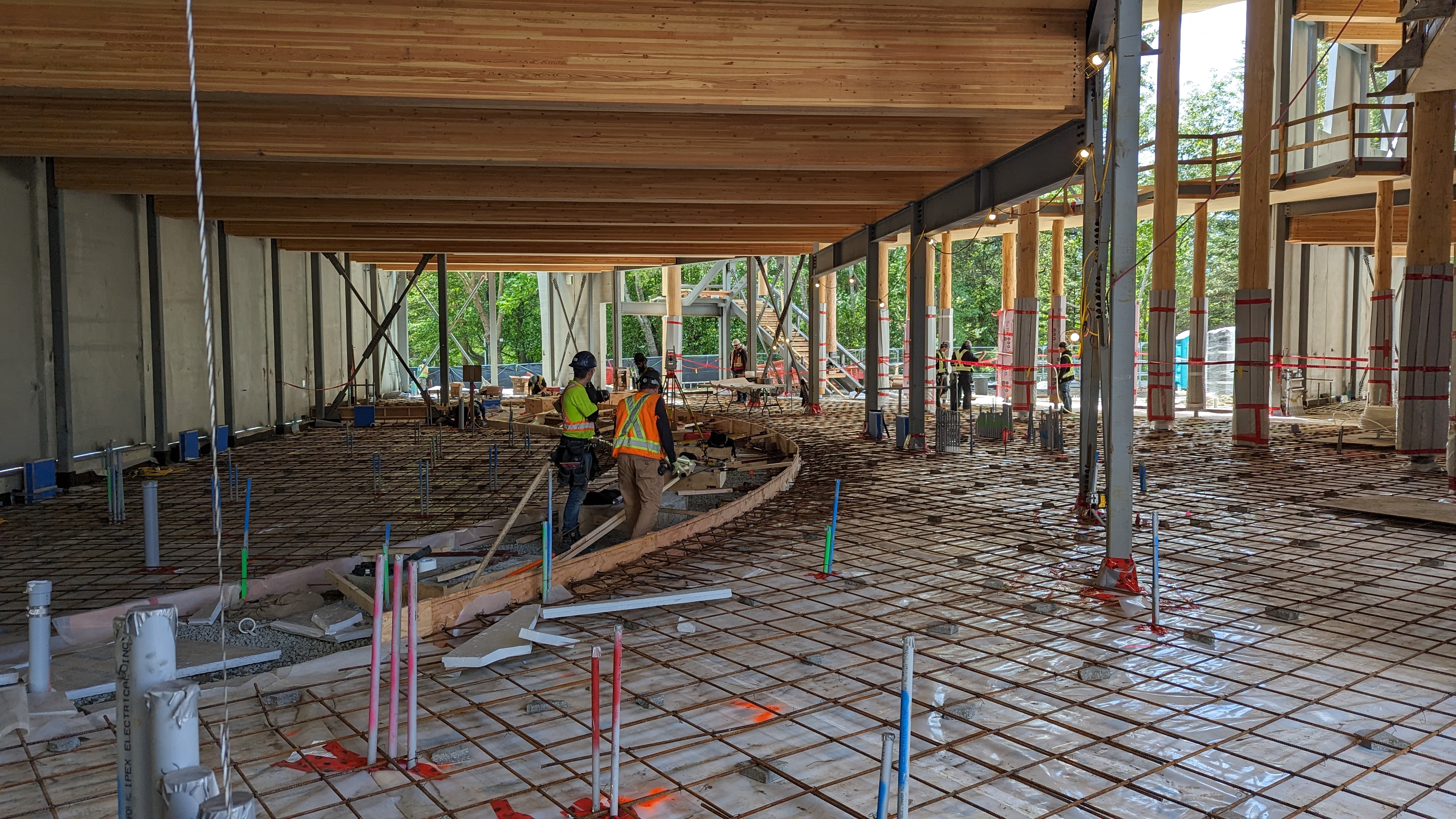
Accurate on-site layout for roads, utilities, and infrastructure projects.
Detailed mapping of existing assets to support upgrades, maintenance, and design.
Base plans and site data to support planning, permitting, and early design.
Precise terrain and elevation mapping for engineering and construction.
Volume calculations for excavation, fill, and stockpiles to verify quantities.
Advanced 3D surface capture and photogrammetric processing for detailed deliverables.
Creation of detailed DTMs and surfaces for design, visualization, and analysis.
Monitoring and analysis of structural or ground movement over time.
Professional drafting, plans, and CAD deliverables to industry standards.
High accuracy grid and alignment layout.
With over 26 years of surveying experience on Southern Vancouver Island, Level Geomatics brings deep local knowledge and practical expertise to every project.
Established in 2023, our passion for geomatics and commitment to professional service drive us to deliver high-quality, reliable solutions across a wide range of project types and sizes.
We combine proven methods with modern tools to ensure accurate results, responsive communication, and dependable support from planning through completion.
Experienced Local Professionals
Accurate & Dependable Results
Commitment to Quality & Precision
Contact our team to discuss your surveying needs and timelines.